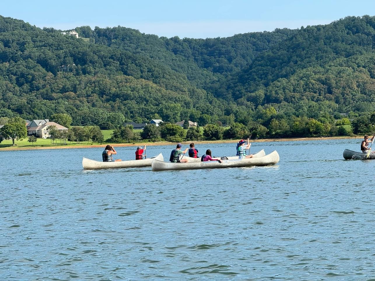
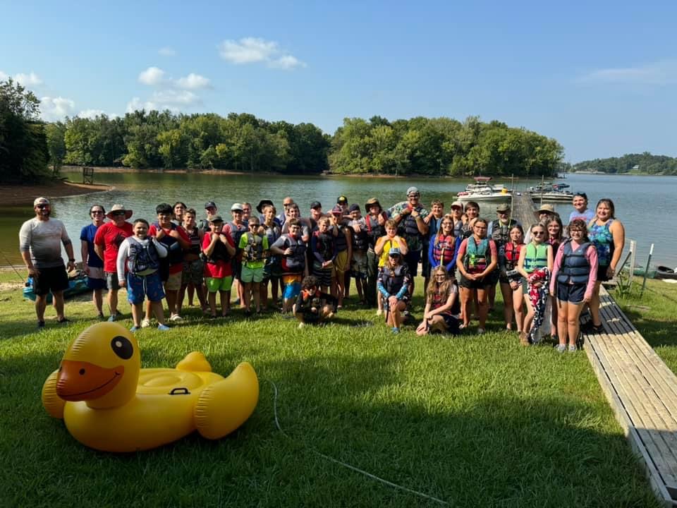
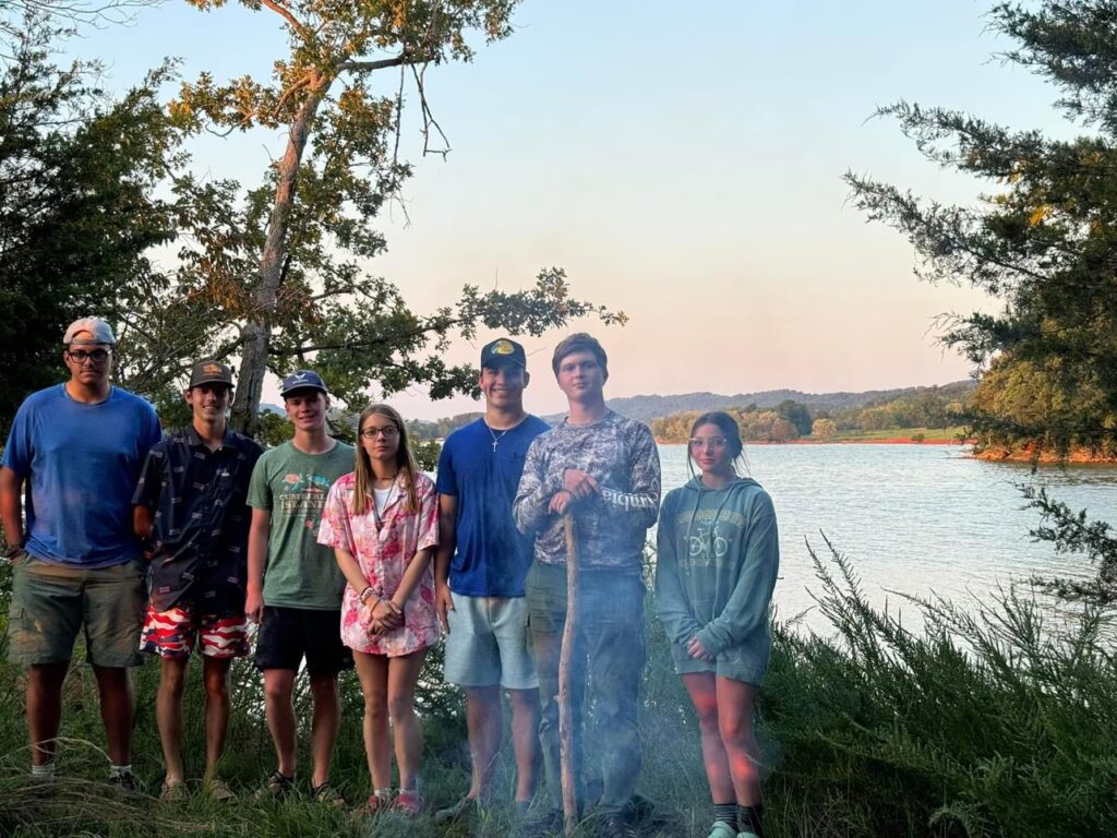
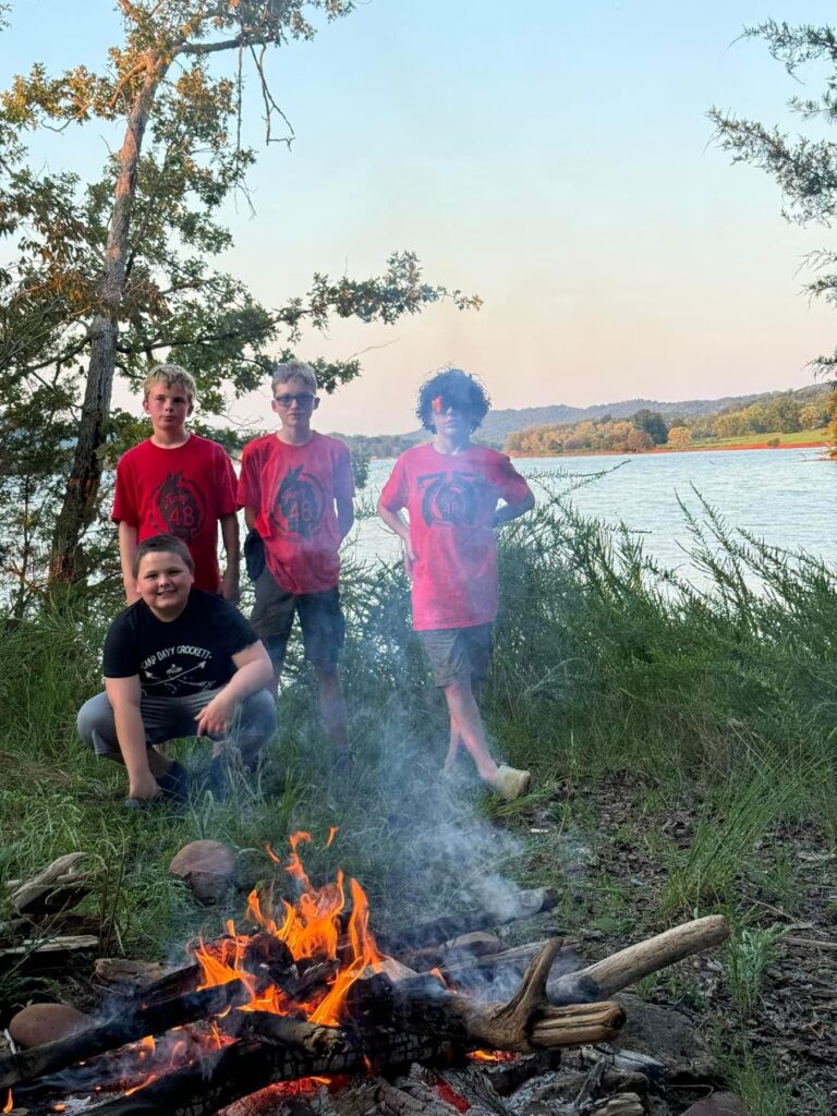
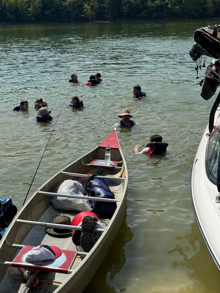
Dick Tracy Rock is a privately owned island (when the lake is up) about 3 miles from Camp Davy Crockett on Cherokee Lake. Troop 48 has been going there for many years with permission from the owners. Since there are no facilities on the island, everything has to be transported by boat from Camp Davy Crockett. It is said that the rock formation on the island resembles a famous detective comic strip character, Dick Tracy, but I’ve never been able to see the resemblance.
Dick Tracy
Experience:
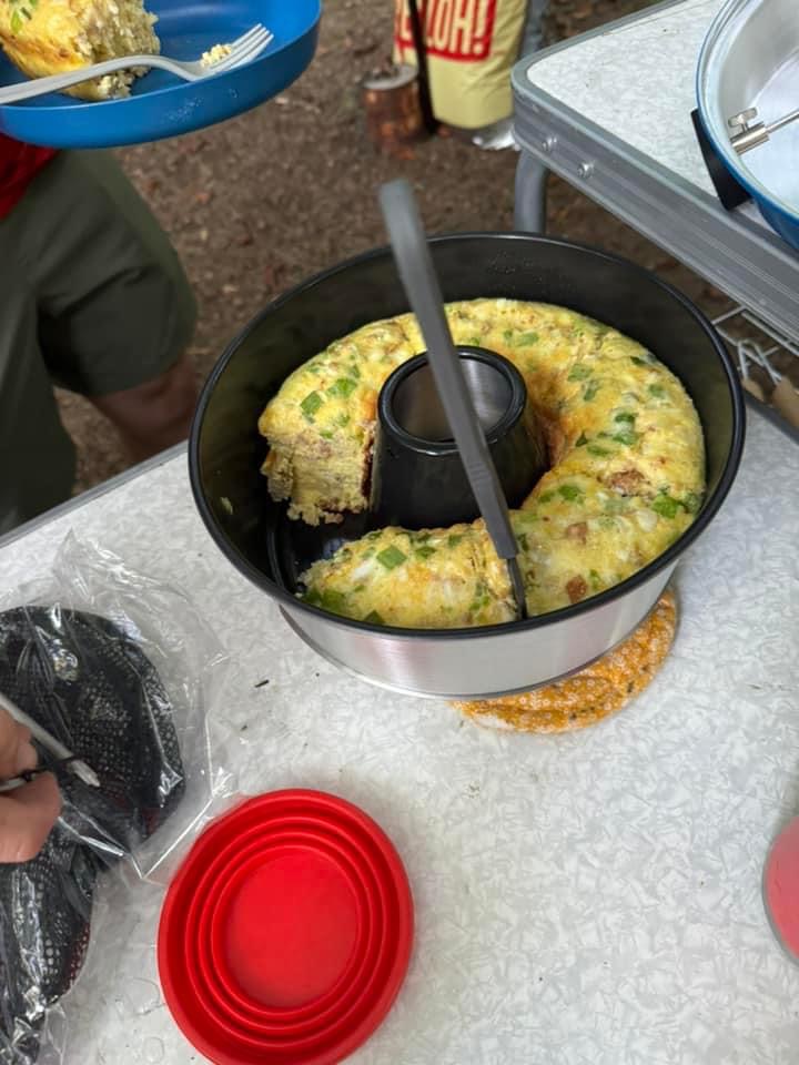
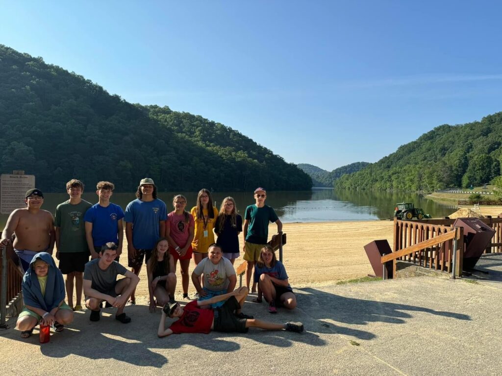
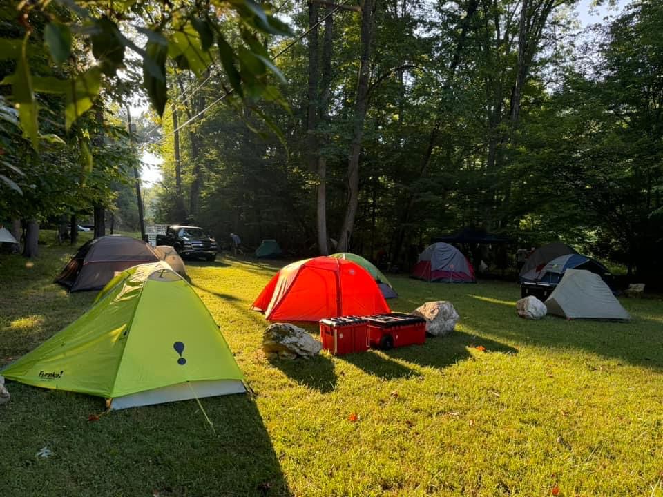
Those who were at least 14 and First Class rank went down on Friday night for water skiing, canoeing, swimming with life jackets and shoes. The rest of the attendees went down on Saturday to experience the same activities. We did back-pack tent or hammock style camping. All gear had to be in backpacks and packed so as to stay as dry as possible if the boat overturned. It took a couple of hours to get from Camp Davy Crockett to DTR. We had an awesome time on the water – the sun was hot so glad we brought lots of sunscreen and patrol water jugs. We had a Troop 48 church service on Sunday before we headed home – tired but happy from a weekend on the lake.
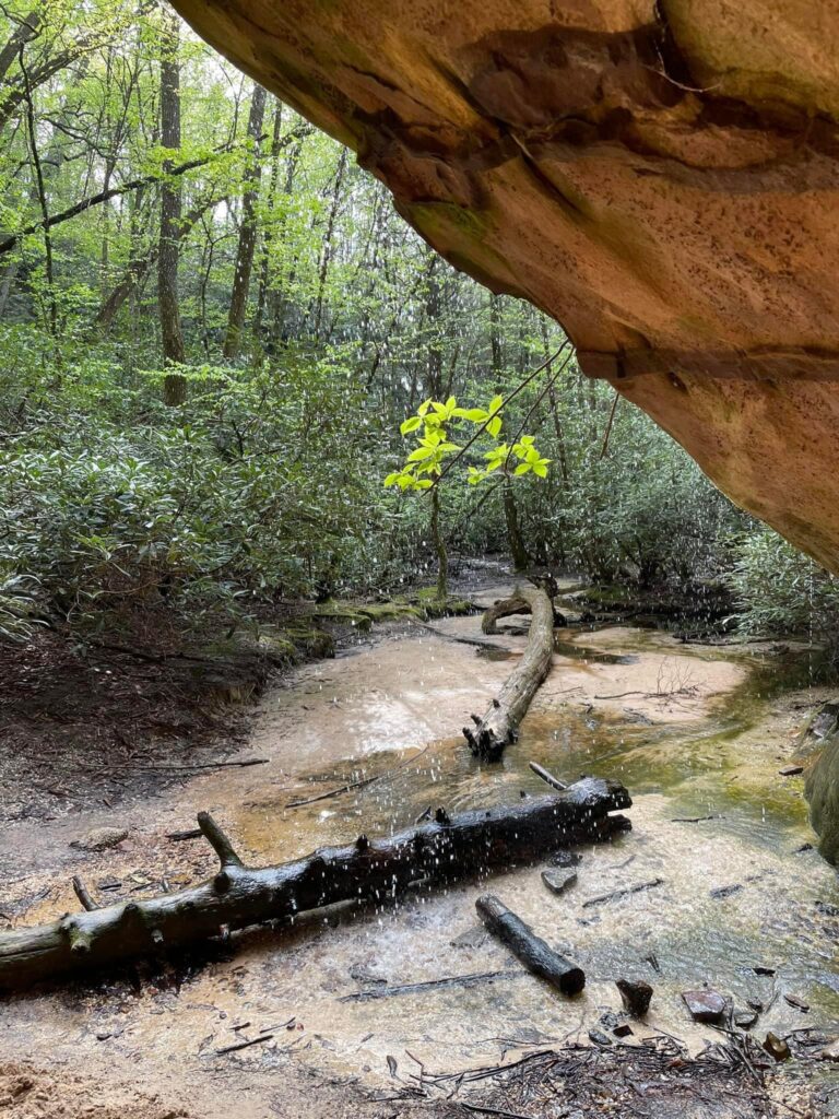
Grayson Highlands State Park is located in Grayson Country, Virginia, and is adjacent to Mount Rogers National Recreation Area and lies within the Jefferson National Forest. The park contains a total of 4,502 acres. Originally named Mount Rogers State Park, the park was established in 1965. Many areas in the park are named after early settlers. Massie Gap takes its name from Lee Massey, who lived in the gap with his wife and five children in the late 1800s and early 1900s. At that time, the present park area was thinly settled by people who managed to live off the land. They made, grew or gathered most of their necessities. Wilburn Ridge is named after the famed hunter Wilburn Waters. His reputation as a bear hunter and wolf trapper made him renowned throughout the region.
In the 1950s, the American chestnut blight arrived and killed the most predominant tree in these mountains. The massive logging that followed created more openings, changed the soil composition, and resulted in the many balds of Grayson Highlands.
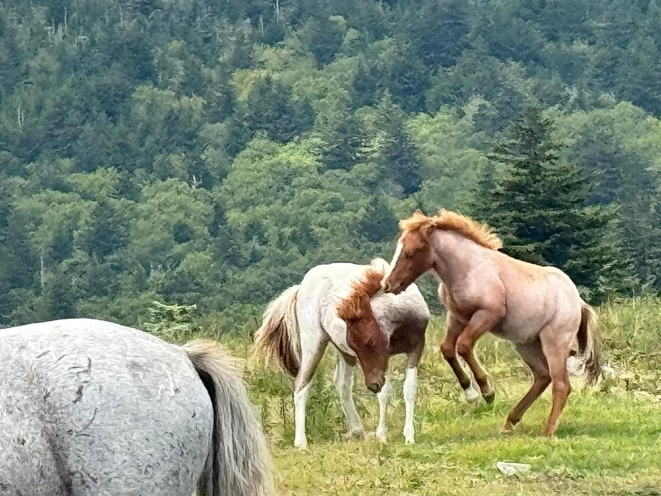
In the 1950s, Bill Pugh began breeding an equine called the Virginia Highlander, a small horse that was more suited for the cold winters and mountainous terrain. When the park was established, the ponies remained as both the U.S. Forest Service and Virginia State Parks wanted to maintain the balds by allowing grazing. These “wild” ponies are one of the main attractions at Grayson Highlands. Visitors are discouraged from interacting with the ponies because it may cause them to lose the essential wildness that keeps it ever alert for predators. The park has a considerable coyote population, and they can easily kill a newborn foal,
Experience:
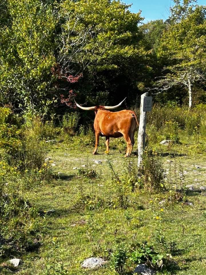
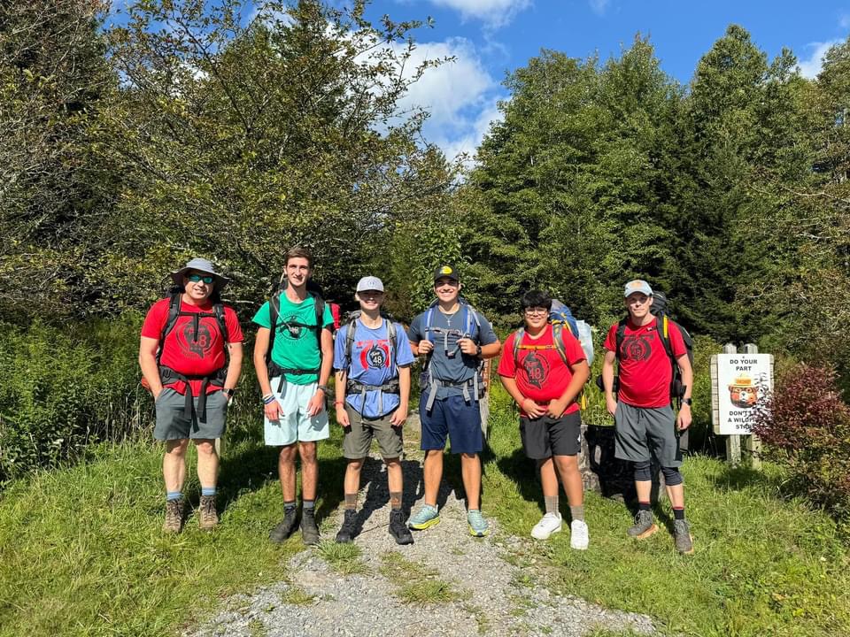
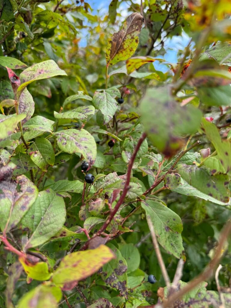
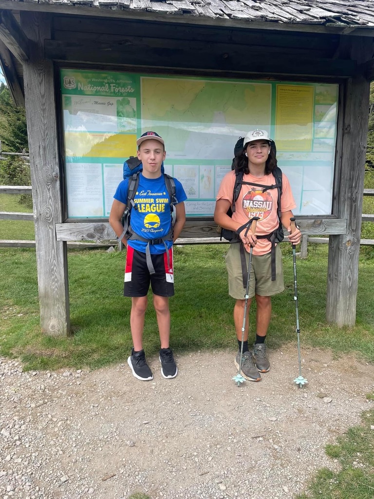
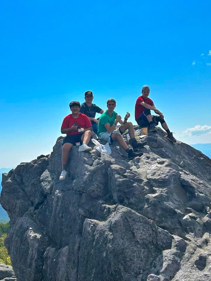
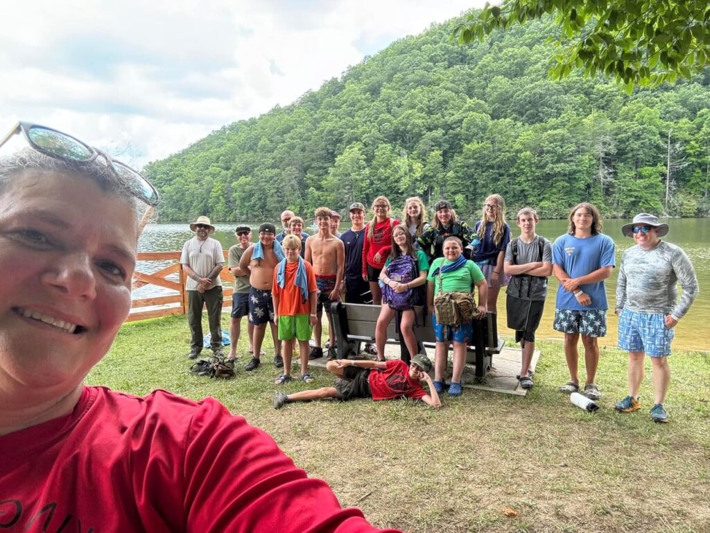
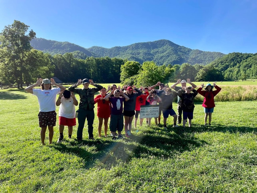
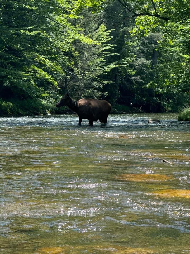
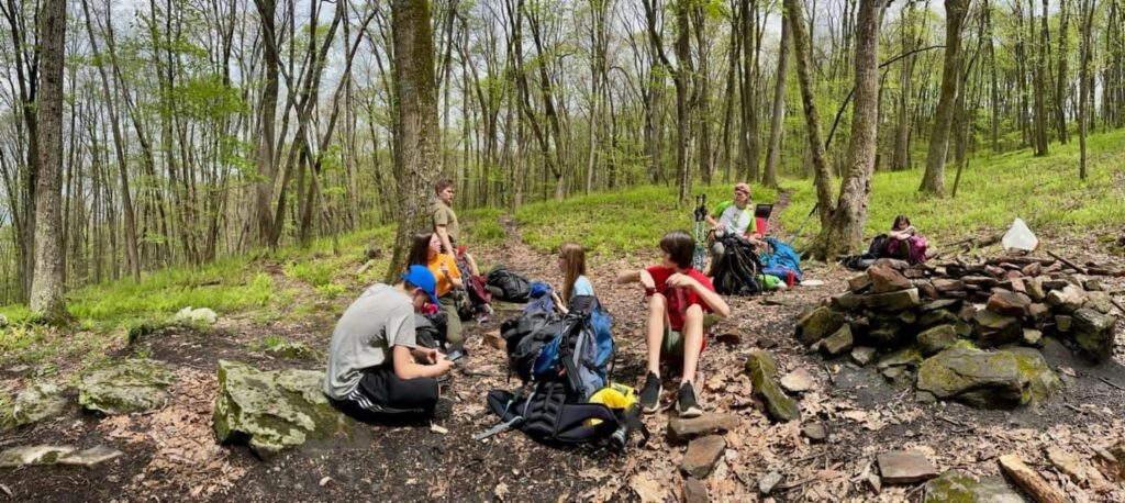
We had both truck-in and backpacking (2 groups) events. Friday night saw 2 backpackers do 5 miles on Friday before meeting up with the Saturday backpackers who did 6 miles on Saturday and 4 on Sunday. Truck-in campers hiked 6.2 miles on Saturday and 3.5 miles on Sunday. Truck-in crew camped in the Hickory Ridge Campground. Backpackers camped west of the Third Peak in the Scales area. Blueberry picking and wild pony sightings and beautiful scenery were experienced by both groups. The backpackers, however, had a special experience when a couple of the wild cows decided we were too close to them and chased us away. It was like the ““running of the bulls” Appalachian style J.
The backpacking trail was rated moderate difficulty – it was challenging but fun for some of us and should definitely not be your first backpacking trip. Saturday night the backpacking crew also heard coyotes and was a little concerning to some of us. Also it was a reminder of why we shouldn’t let the ponies become too used to us.
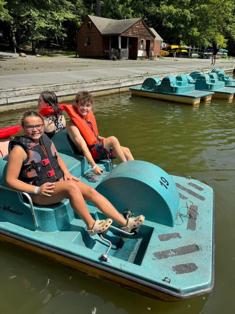
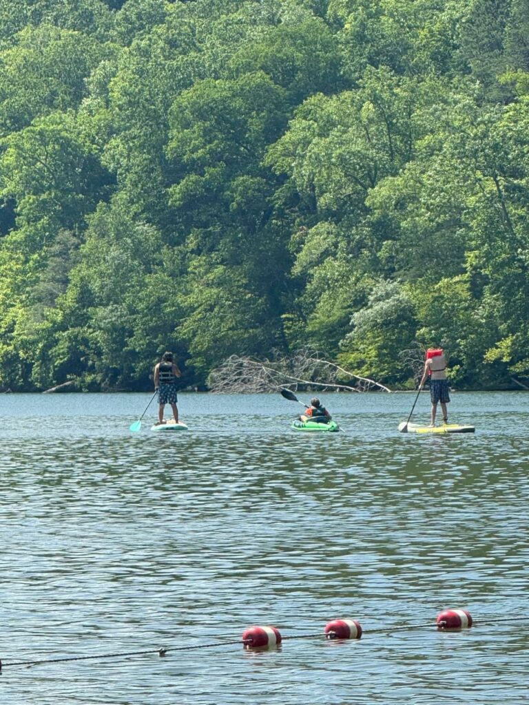
One of the original six Virginia State Parks, Hungry Mother is known for beautiful woodlands and a placid 108-acre lake in the heart of the mountains. The park has a sandy beach with a bathhouse, boat rentals (canoes, kayak, fishing kayaks, paddleboats, paddleboards and hydro-bikes), a boat launch and a universally accessible fishing pier. Guests also enjoy campgrounds, cabins, yurts, gift shops, a visitor center, a six-bedroom family lodge, and hiking and biking trails.
The Legend of Hungry Mother
The Legend of Hungry Mother takes many forms, and all have whispers of the truth. The one widely accepted by the people of Southwest Virginia goes like this…
Legend has it that a pioneer named Molly Marley and her small child were captured by a Native American tribe and taken to their mountain camp. Molly and her little one eventually escaped and wandered through the woods foraging for food and searching for shelter. One day Molly collapsed from exhaustion, and the youngster continued along the creek until help was found. The only words the child could utter were “Hungry Mother.” A search party later found Molly dead at the foot of the mountain near the creek.
The mountain went on to be called Molly’s Knob and the stream Hungry Mother Creek. In the 1930s, the Civilian Conservation Corps developed the park, and the creek was dammed to form the lake. The name of the park is wrapped in its own mystery. Originally it was to be called Forest Lake. The name was changed to Southwest Virginia Lake and then to Hungry Mother State Park not long before the park opened. The debate over the legend and the park name continues to this day.
Experience:
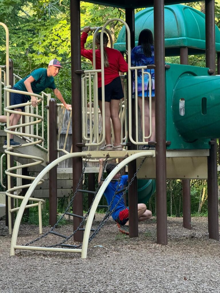
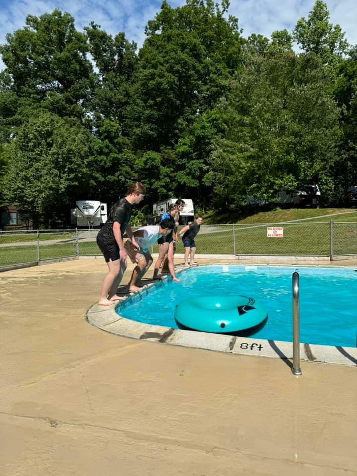
The two best things about this trip were the fun things we did on the water and the food! After setting up camp Friday, we went for a short hike and played by the river and on the playground. We planned to make a cobbler but since the coals were taking so long, we had s’mores instead. On Saturday, we were able to swim and play on a fresh water beach, paddle board (or at least try to), paddle boat, and canoe. We had some of the best food that we’ve had on a camping trip in a long time. After our Sunday morning service, we headed back to the beach for more water fun before heading back to our beloved families.
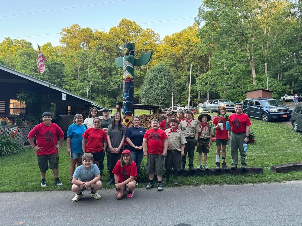
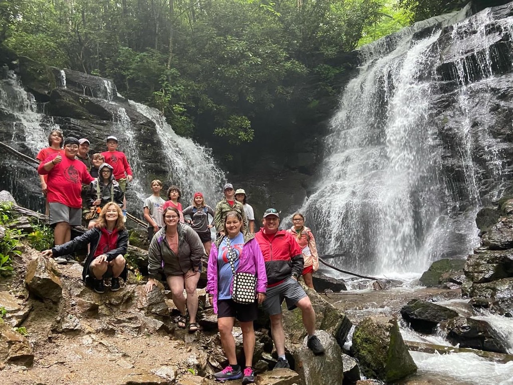
Cherokee County was formed in 1839 from a part of Macon County, and is North Carolina’s western most county, bordered by the states of Tennessee and Georgia, and located in the southern tip of the Great Smoky Mountains. Cherokee County was named to honor the Cherokee Indians who inhabited this area before being removed and relocated to Oklahoma in 1838. Those who escaped removal to Oklahoma now live on the Cherokee Indian reservation in Cherokee, NC.
President Andrew Jackson approved the Indian Removal Act of 1830, which provided removal of all Indians to Oklahoma. In 1835, the New Echota Removal Treaty was signed and plans were executed to remove the Cherokee Indians. Many Indians defied the government and went into hiding in the wilderness of the Blue Ridge Mountains, now known as Cherokee, NC Indian Reservation. Under the New Echota Removal Treaty of 1835, over 17,000 Indians were removed from North Carolina, Tennessee, Kentucky, Illinois, Mississippi, and Arkansas to Oklahoma. It was a miserable road that the Cherokee endured for 6 long months in the bitter cold. 1 out of every 4 Indians died on the march. This long, sad journey is known as the Trail of Tears.
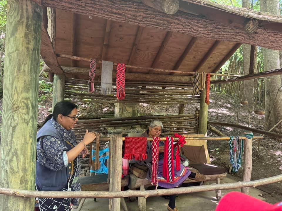
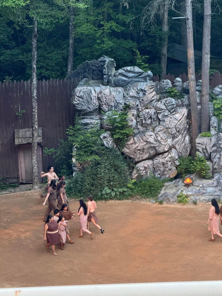
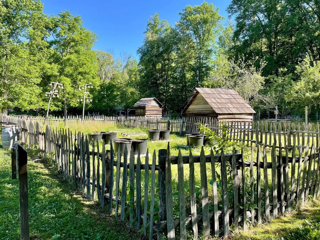
Cherokee is a town on the reservation home of the Eastern Band of the Cherokee Nation, in western North Carolina. At Oconaluftee Indian Village, the 18th-century Cherokee lifestyle is preserved through live demonstrations. In summer at the outdoor Mountainside Theatre, the drama “Unto These Hills” tells the tribal story leading up to the Trail of Tears. The drama has been performed since 1950.
Experience:
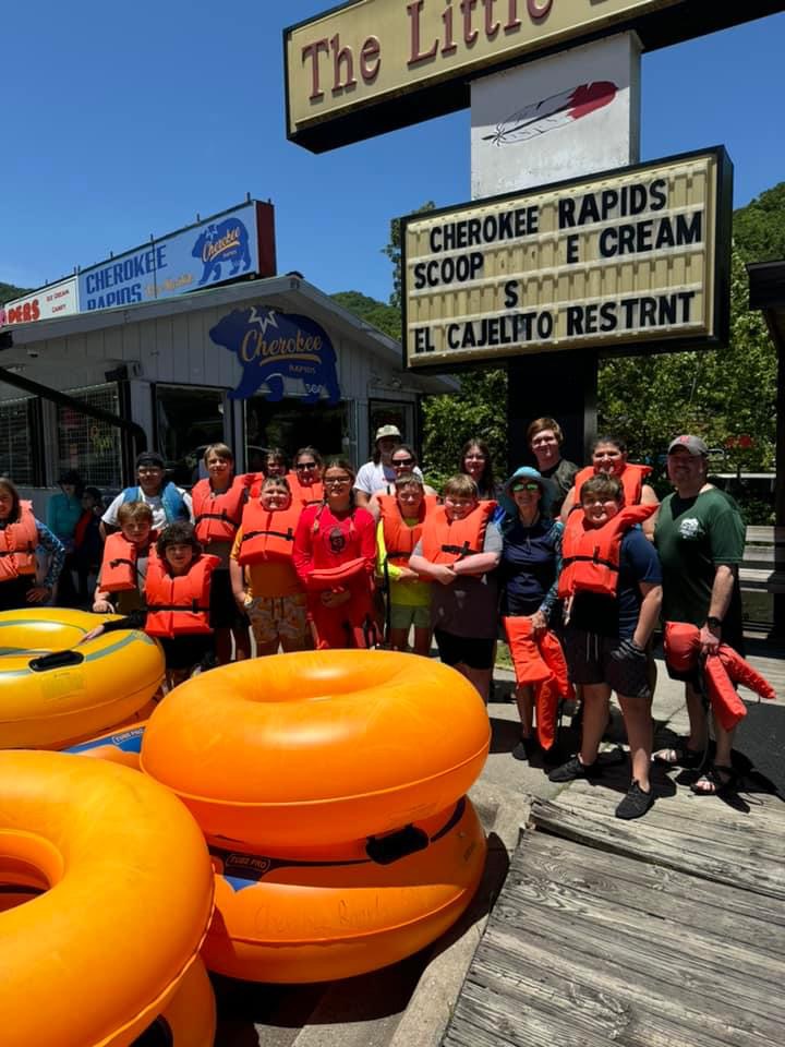
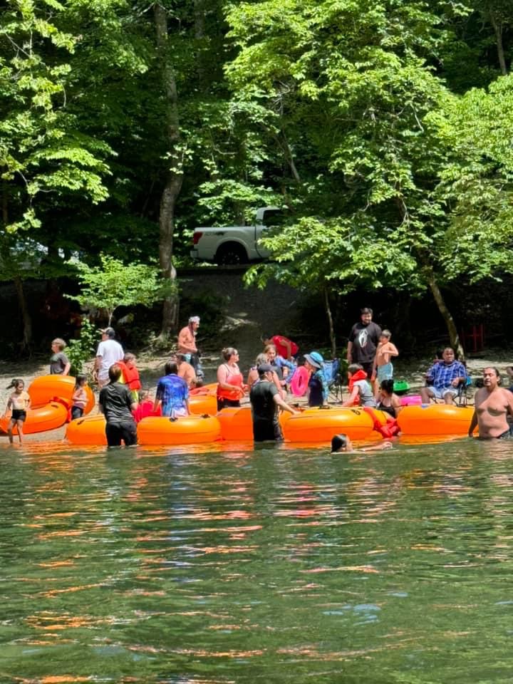
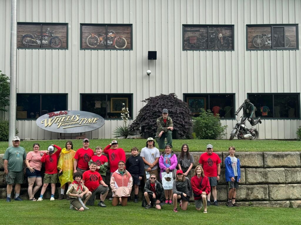
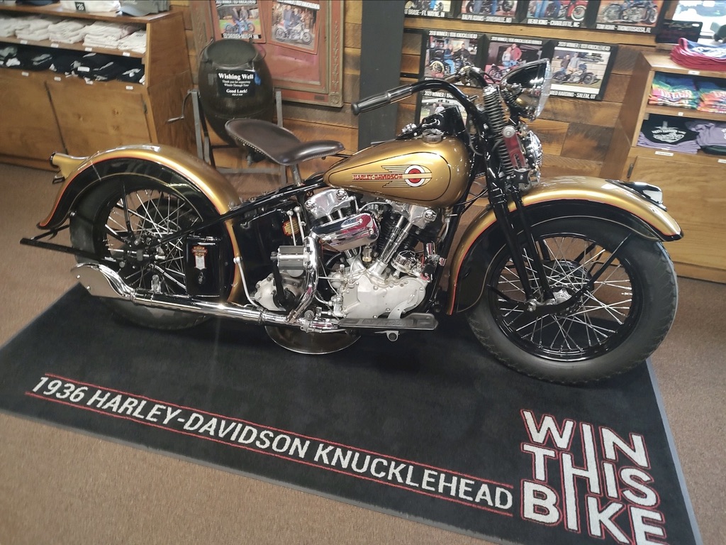
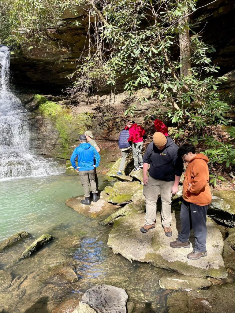
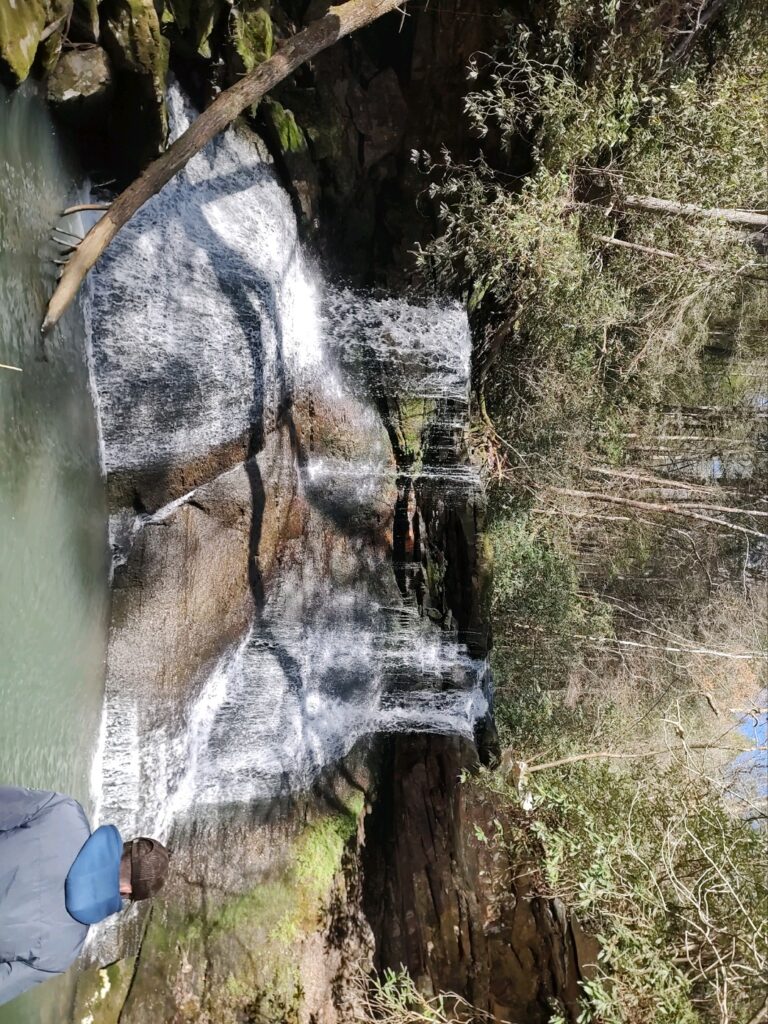
The Cherokee, NC trip was one of the best trips I’ve been on since I joined the troop 2 years ago. We set up camp Friday night and planned to go swimming but it was too late. Instead we enjoyed camp time and got a good night’s sleep for the next day. We took a hike on Saturday to a beautiful waterfall. We then went to visit Oconaluftee village to learn how the Cherokee lived in the 1800s. We went river tubing after that (super fun) and got ice cream (my favorite was cookies n cream). After returning to the campsite, we swam in the pool until it was time to get ready for the Indian drama “Unto These Hills.” It was a good play but very sad to watch how the Cherokee were treated. After another good night’s sleep, we packed up on Sunday morning so we could tour the Wheels Through Time museum. The old motorcycles we saw were super cool! We headed home after a busy, fun-filled experience.
Trip: Cumberland Gap Truck-in and Backpacking Trip
“`Ewing, VA
Date: May 4-5, 2024
Author: Cristian Baca
History:
For thousands of years, people and animals have journeyed through the Cumberland Gap. A combination of factors made this important transportation link possible. As the Cumberland Mountain formed, Yellow Creek cut through the mountain creating a notch in the mountain at the same time it was rising. The mountain began to rise faster than the creek could erode, causing the creek to change course. Thus, the Gap that the early Americans found was dry.
Not long after the gap formed, animals began traveling through the gap on their way north, especially bison. The bison blazed a trail through the gap, as they went north in search of saltlicks. As bison traveled north, early humans observed their movements and followed them through the gap.
During the 1700s, European colonists searched for a way west through the Cumberland Mountains. The first European to document his journey through the gap was Thomas Walker. In 1750, the Virginia Loyal Land Company sent Thomas Walker to find a pass into western Virginia (now Kentucky). Walker journeyed through the gap and named the mountain after Prince William, the Duke of Cumberland. Walker, though, argued the gap was not the best path westward. Nineteen years later, Daniel Boone came to a different conclusion. Boone heard about the gap from a friend and travelled through it on a hunting expedition. He told others of his journey and he was paid by a land speculator to blaze a trail through the gap for settlement. This path known as the Wilderness Road allowed approximately 200,000 and 300,000 European-American colonists to travel through the gap westward.
Experience
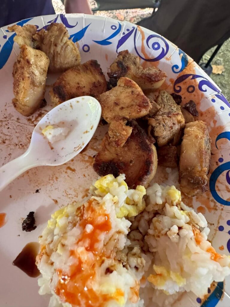
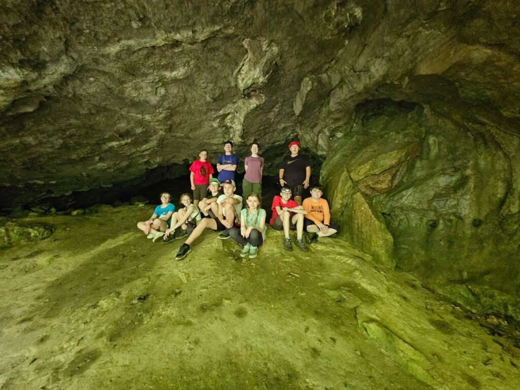
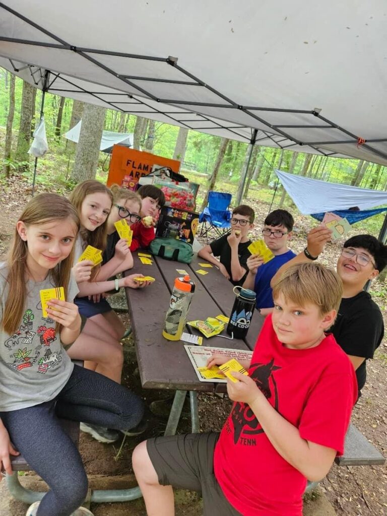
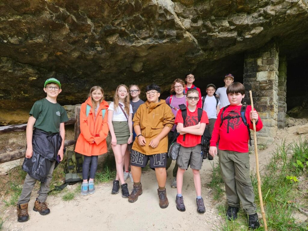
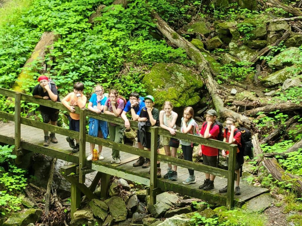
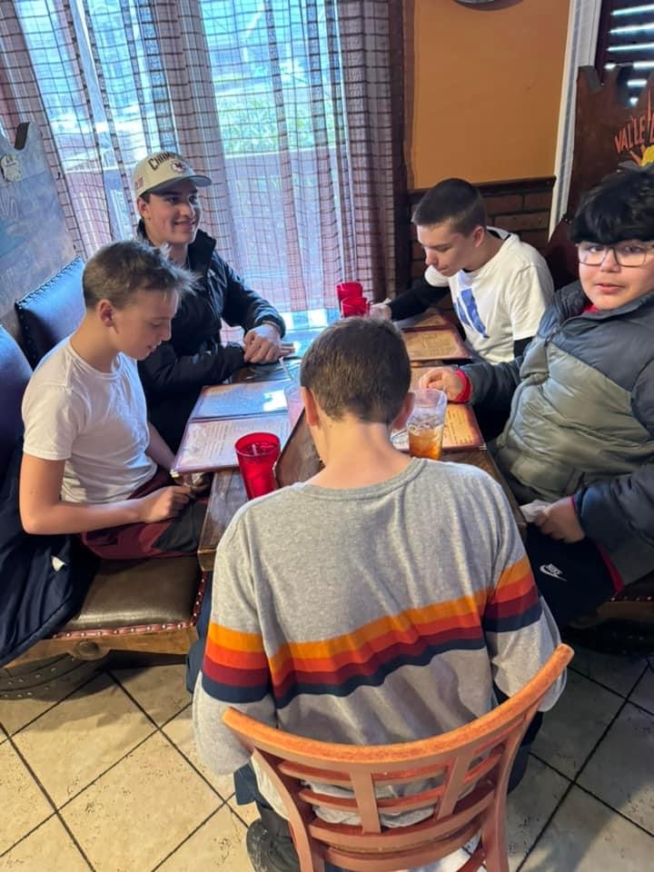
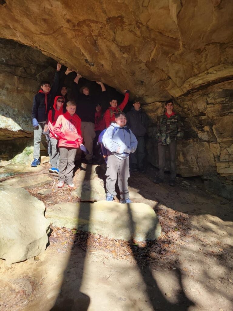
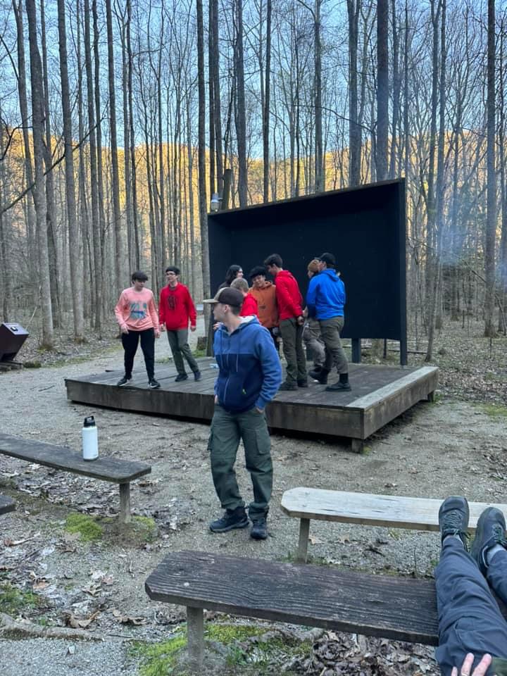
Troop 48 carpooled to Cumberland Gap Wilderness Road campground on May 4. We stopped at the gift shop at the campground to check in and they had some really cool stuff but the hoodies were a little pricey. We got to play in the big field until it was time to go on the first hike. We hiked to a cave that was blocked off by a metal gate (1.7 miles) but found our way around. We hiked on past the cave to a beautiful view where we were able to stand in 3 different states (Kentucky, Virginia, and Tennessee). After the hike we pitched camp and played football with some kids camping across from us. We had delicious hot dogs and chips for dinner and had a great campfire service with lots of fun skits. My personal favorite was the Moonstick skit. We woke up to pop tarts and oatmeal for breakfast on Sunday. We broke camp, cleaned up, and had a church service before we went on our second hike (Starlight cave, about a 4-mile hike). Parts of the cave had lots of spiders. We had bagged chicken on the trail for lunch. After returning to the campground to meet the backpackers, we headed back to our beloved families.
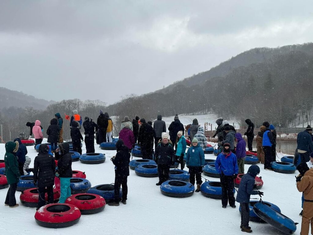
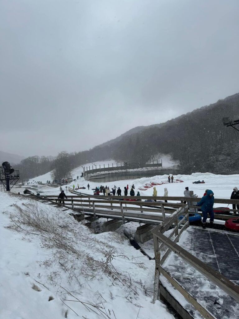
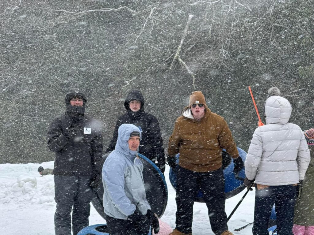
Hawksnest Snow Tubing was once Hawksnest Ski Resort (first opening in 1964) offering 12 downhill trails and a vertical of 673 feet. A few years later (1968) they added golf and became known as the Seven Devils Golf and Ski Resort. The recreationally-focused town of Seven Devils was incorporated on June 30, 1979, with a focus as a vacation home community.
In the early 1980s, Jon Reynolds purchased the ski operations and changed the name to Ski Hawksnest. The property was purchased by Leonard Cottom in 1993 and renamed the Hawksnest Golf and Ski Resort. They had three chairlifts serving its 12 trails, with 100% snowmaking coverage over its 20 acres.
Ski operations ceased at Hawksnest in 2008 after the owners reportedly tired of fighting with the town of Seven Devils to obtain support for ski area expansion. Beginning in 2008, the owners shifted their focus to snow tubing and ziplining, opening 20 lanes for visitors.
Since that first season, the park has grown to become the largest snow tubing operation in the Southeast and the second largest tubing park in the United States (as of 2024, Camelback Mountain Resort in Tannersville, PA, is the largest).
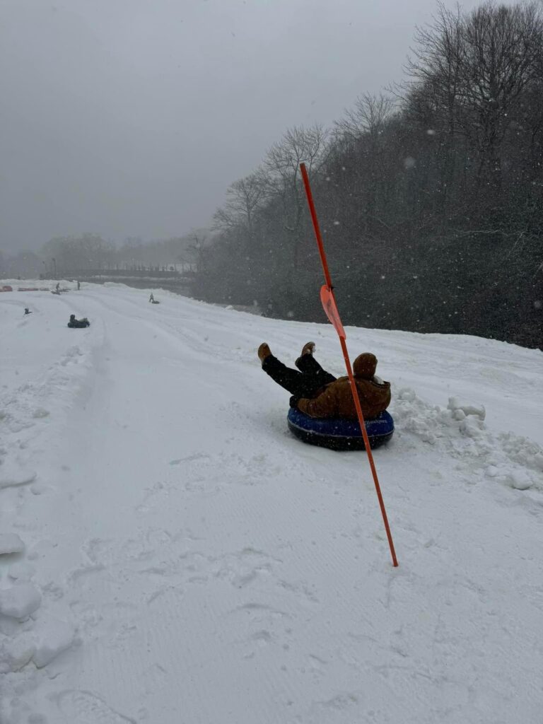
With 4 distinct tubing areas and more than 30 lanes that range from 400 to 1,000 feet in length, Hawksnest Snow Tubing Park provides a wide variety of terrain options for the most advanced of snow tubers.
After finishing their ride, tubers can hop on board one of the park’s 2 “magic carpet” lifts and go back up to the top for another round of fun. Each session lasts 1 hour ad 45 minutes and tubers must be at least 3 years old.
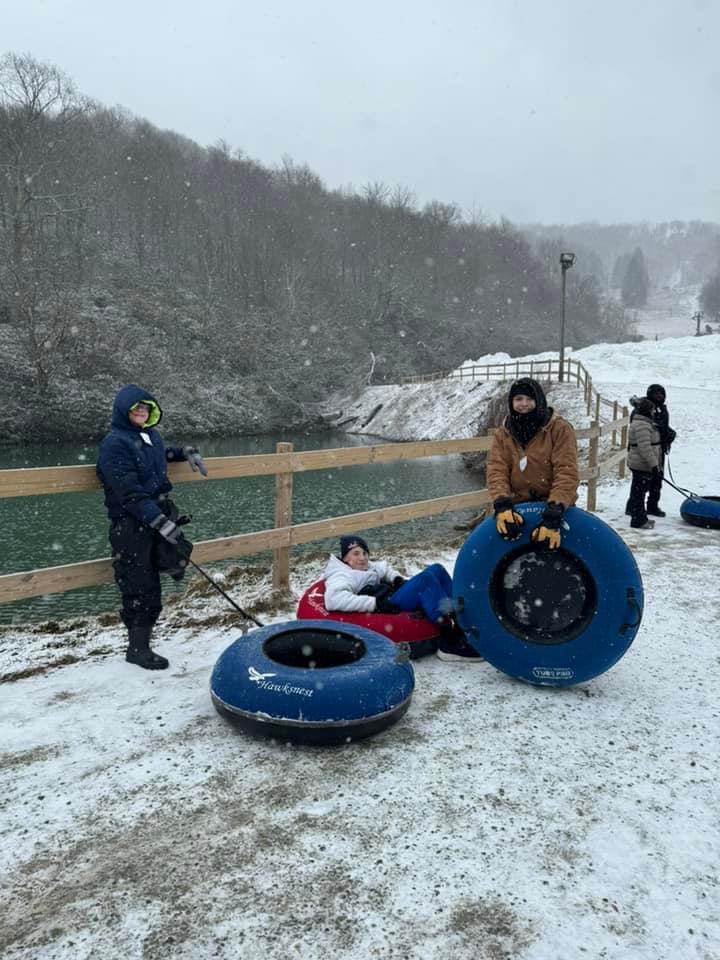
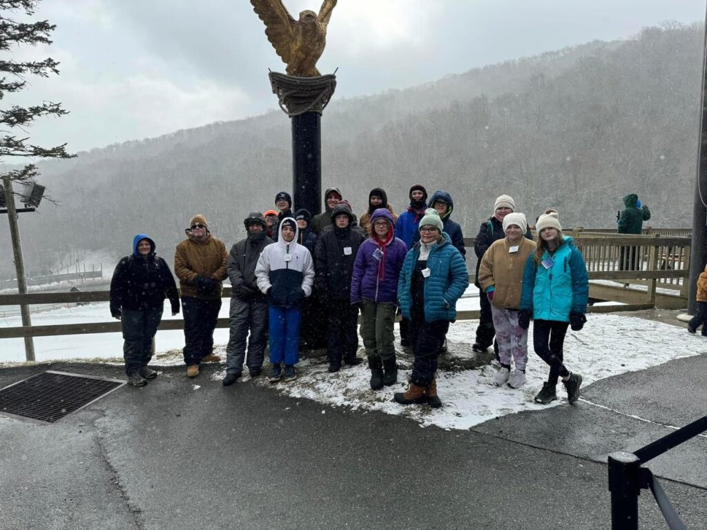
Experience
Troop 48 carpooled to Hawksnest on Feb. 24. After about 2 hours of tubing, we ate at a fantastic Mexican restaurant for lunch and headed back to Kingsport. We had great weather for tubing (snowed while we were there). Watch out for the conveyor – it tried to eat my shirt.
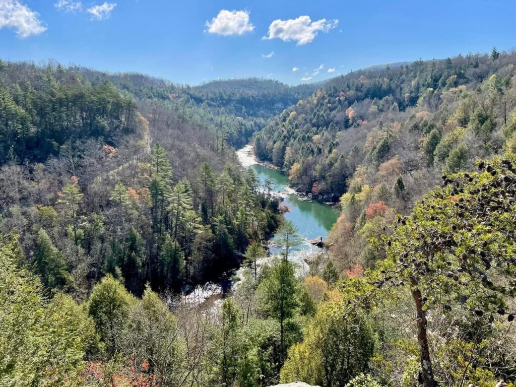
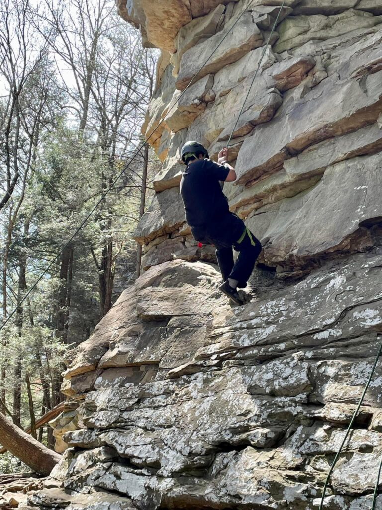
The Obed Wild and Scenic River looks much the same today as it did when the first white settlers strolled its banks in the late 1700s. While meagerly populated due to poor farming soil, the river was a hospitable fishing and hunting area for trappers and pioneers. Today, the Obed stretches along the Cumberland Plateau and offers visitors a variety of outdoor recreational opportunities. The Obed’s more than 300 climbing routes range from easy to moderate to difficult.
We camped in acampsite at nearby Frozen Head State Park in Morgan County, TN. The park, situated in the Crab Orchard Mountains, contains some of the highest mountains in Tennessee west of the Blue Ridge Mountains.
Frozen Head State Park consists of approximately 24,000 acres, all but 330 acres of which is classified as a state natural area. The terrain varies between 1,300 ft to over 3,000 ft with 14 peaks at or over 3,000 feet. Frozen Head the park’s namesake, is the highest peak at 3,324 feet. The mountain’s name comes from its snow-capped appearance in colder months. The park’s highest elevations allow for unobstructed views of East TN’s 3 main geographical features: the Cumberland Plateau, the Tennessee Valley, and the Great Smoky Mountains.
What is now Frozen Head State Park was once part of the vast Cherokee hunting grounds that covered much of East TN and southeastern Kentucky. The area was ceded to the United States government in 1805 with the signing of the Third Treaty of Tellico. The first Euro-American settlers arrived shortly thereafter, although they largely avoided the rugged mountains in favor of the more fertile bottomlands along the upper Emory River.
A large part of Morgan State Forest burned in a forest fire in 1952, and the forestry division transferred the lands to the parks division 18 years later for the establishment of Frozen Head State Park. In 1988, most of park’s acreage was classified as a state natural area, restricting development to a 330-acre area around the confluence of Flat Fork and Judge Branch.
Experience:
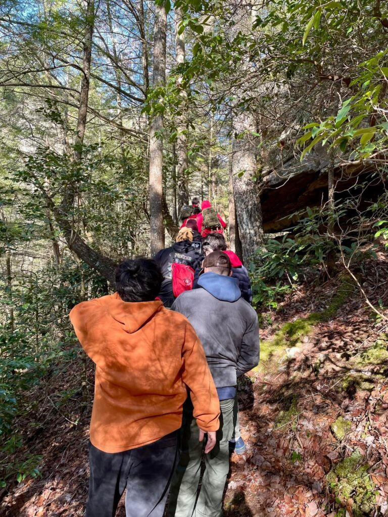
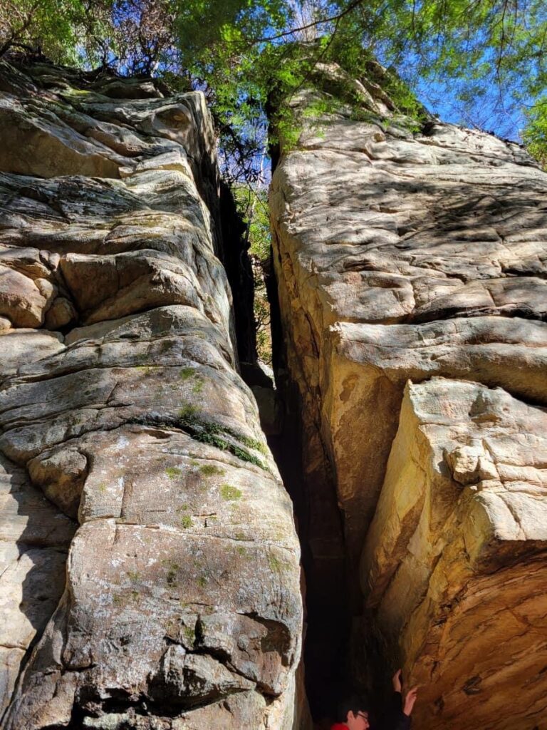
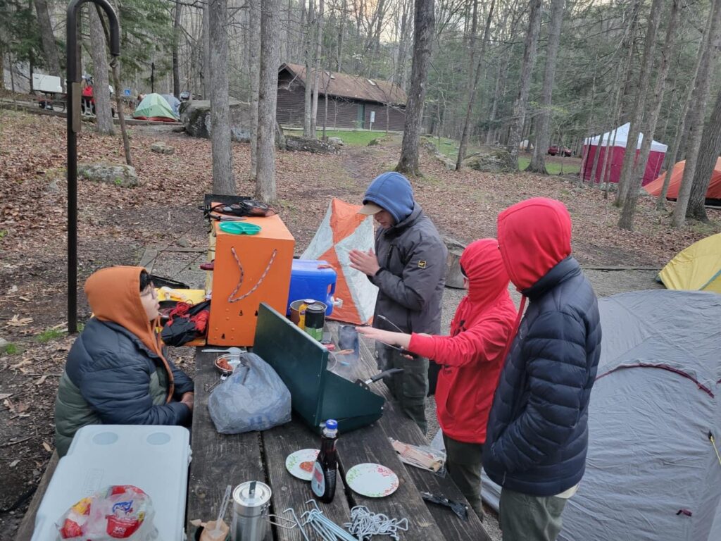
OBED is a great scout outing to go on with your troop or your family. OBED can be a truck in or a backpacking trip but this trip was a truck-in. We camped in nearby Frozen Head State Park campground. OBED has many hiking opportunities with an amazing panoramic resting area at the top. OBED offers ranger- led climbing activities (which everyone participated in). There are a lot of other fun activities like fishing (which some of us participated in but didn’t catch anything). OBED also has a junior ranger program for anyone interested – the troop chose to climb for about 3 hours this trip but maybe next time. After climbing we headed back to camp for dinner (hamburgers and chips and Milo’s sweet tea). We took a 1.7 mile hike with some amazing views. We also stopped at Bucee’s in Pigeon Forge for dinner on the way down and lunch on the way back the next day. I highly recommend this trip for anyone who’s ready for an adventure.I believe OBED is the best trip we’ve been on this year (2024).


